On Thursday, May 30th, Tammy and I headed to New Hampshire with the intent of taking the whole day on our time schedule to tackle both Mt. Adams and Mt. Madison, the two Northernmost major peaks of the White Mountain Presidentials. Family obligations changed our plans. We would have the day until about 3:30PM to get in whatever hiking we could, so we decided to head for Mt. Adams via the Appalacia parking lot off route 2 in Randolph, NH.
The Randolph Mountain Club maintains two cabins (Crag camp and Gray Knob camp), two shelters (the Log Cabin and the Perch), and 100+ miles of trails around the Northern Presidentials and Crescent Range. There are three easy access parking spots. One off route 2 on the Pinkham B/Dolly Copp Road, one on route 2 called the Appalacia parking lot, and one at Lowe’s store in Randolph. I believe Lowe’s charges a couple of bucks for parking and if you go there make sure you pick up the Randolph Mountain Club topo map.
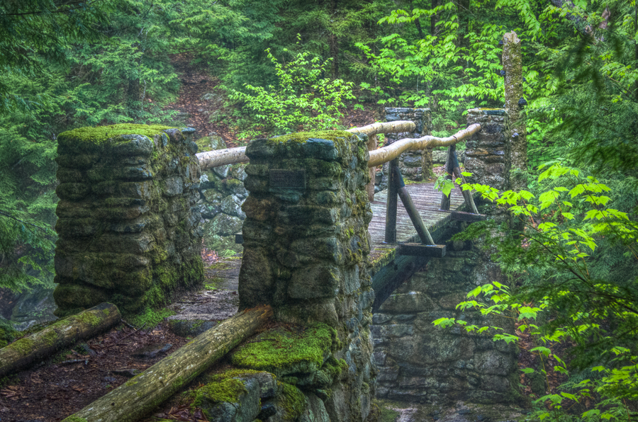
I had planned on hiking up via the Valley Way and Brookbank trails to check out some of the waterfalls along this path, but another guy was heading this way with his dog, and since our Jack Russell doesn’t socialize very well, we decided to come back down via this route. So we headed off on Sylvan Way toward Cold Brook and Cold Brook Falls and the junction with the Amphibrach trail. The falls were gushing and spray made it look misty in the stream bed. I’ve been here at a lower flow, but this was a LOT OF WATER! We crossed the bridge over Cold Brook and headed up hill.
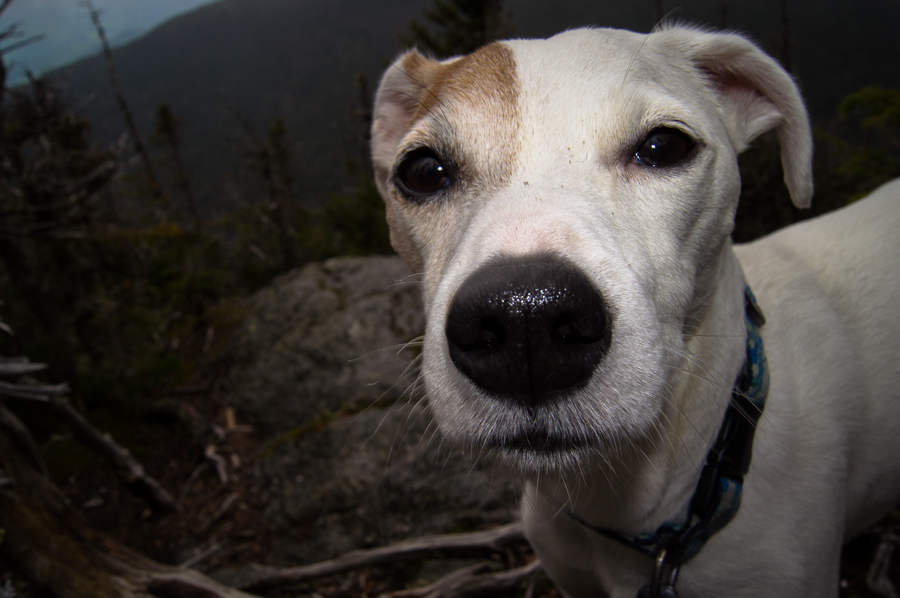
We stayed on the Amphibrach until it reached the five way intersection called the Pentadoi. The trail is pretty gradual until it reaches the Randolph Trail at the Pentadoi and the brook crossing below Chandler Falls. From here it’s straight up all the way to Crag Camp on the Spur trail (roughly 3.9 miles from route 2). I stopped just below the camp at lower crag to give the pup (more accurately ‘me’) a rest and to wait up for Tammy. It was cloudy and windy so I could not see much of King’s Ravine from the lookout at lower crag, although I could see snow in some of the slides in the ravine. Took some pictures of our little JR, Sage at this point.
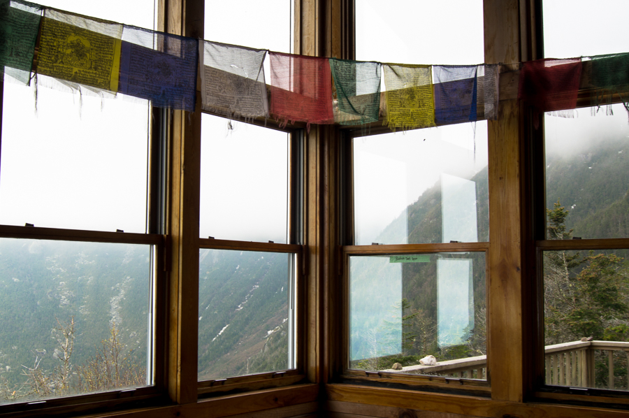
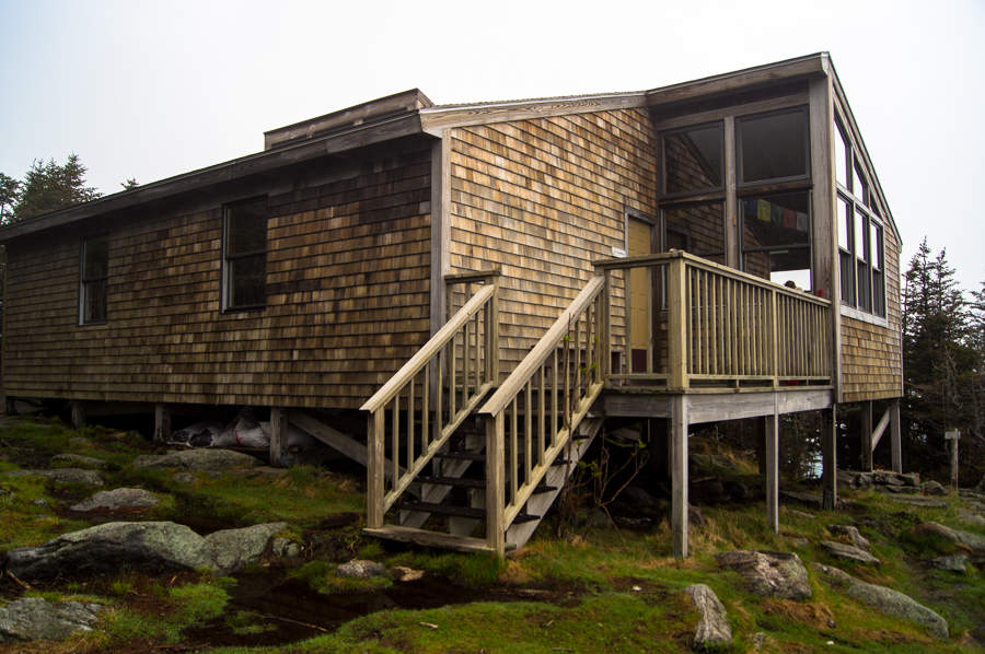
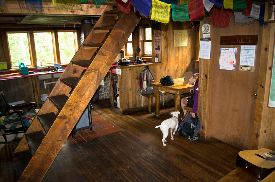
From here Crag Camp is almost within throwing distance. It perches right on the edge of King’s Ravine! Nice spot and great cabin! It has two bunk rooms that sleep 8 each, and one extra bunk room that sleeps 4. It has a common kitchen and dining area and a privy out back.
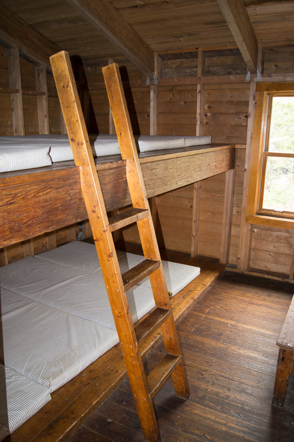
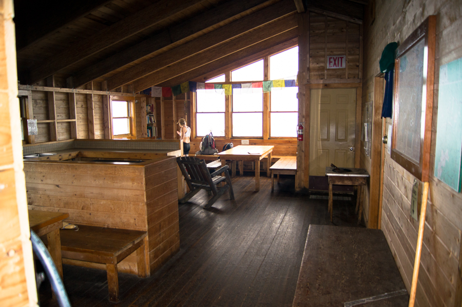
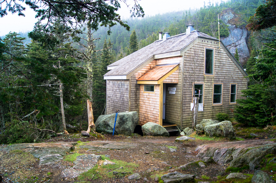
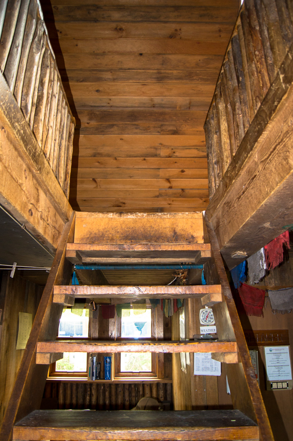
At this point, since we were on a schedule, we decided not to attempt the Mt. Adams summit. It’s about another 1500 feet of elevation from Crag camp. We didn’t have the time and it was still pretty overcast. We headed toward Gray Knob camp on the Gray Knob trail (.5 miles). There is little to no elevation gain on this trail, but it is parallel to the mountain and quite rough with large boulders and even some SNOW! Although short, this was probably the most tiresome part of the hike. Gray Knob camp is smaller than Crag, but very cozy. Instead of bunk rooms off the main floor, the bunks are on the second floor with an open stairway. There is not much of a view from here, but it’s a great option if Crag camp is full.
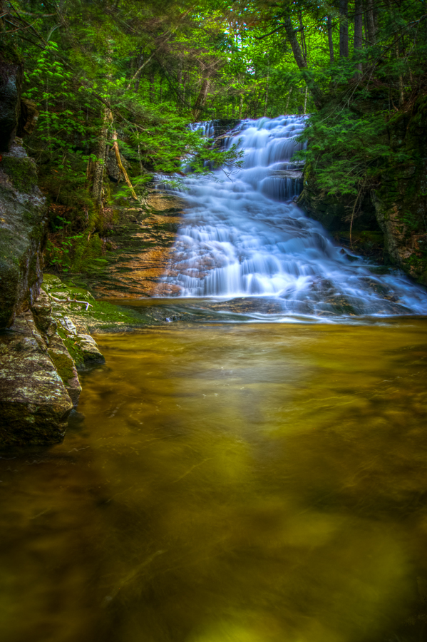
We ate a small lunch and headed down on the Hincks trail, which is just as steep as the Spur trail, but wetter. We met back with the Spur trail near Chandler falls and retraced our path back to the Pentadoi. Here we took the Randolph path 1.8 miles to Valley Way and Brookbank trail. Brookbank and Brookside follow Snyder Brook where there are many cascades and three major falls (Tama, Salroc, and Gordon falls, from highest elevation to lowest). I tend to prefer a gentler water flow for photographing water, but all of the falls were reasonable this day. Only bad part was that it was the middle of the afternoon when we reached this location and the direct sunlight was terrible. I got a few decent shots including the one below. Total distance round trip was approximately 7.2 miles.
This area has so many options for day or overnight hikes that the Randolph Mountain Club even offers a hiker log book pdf to keep track of all the options. I’m sure we’ll be back again to tackle more trails, summits, and streams.