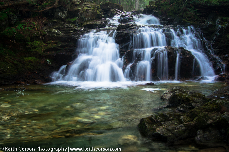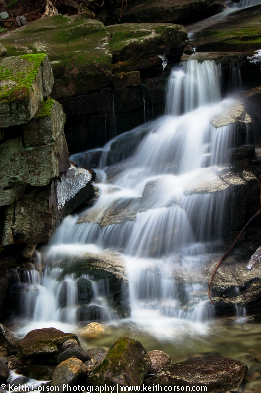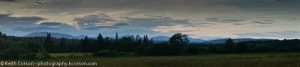

I recently did a little hiking in the White Mountain National Forest area of Randolph, New Hampshire. I began at the Appalachia parking area directly off route 2. From the parking area I went left and followed the Falls Way trail, which parallels Snyder Brook. I continued up stream to reach Gordan Falls (0.2 miles), Salroc Falls (0.5 miles), and Tama Falls (0.7 miles) in quick succession. The morning was cold and the brook gorge was frigid. This area has a multitude of criss-crossing trails so it is wise to either know the area well or to carry a map. Trail maps can be found at Lowe’s store approximately 2 miles west of the Appalachia parking area.
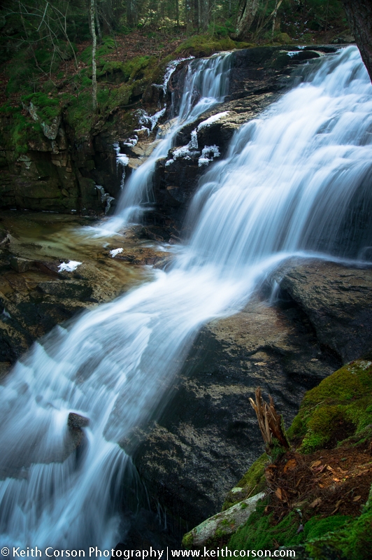
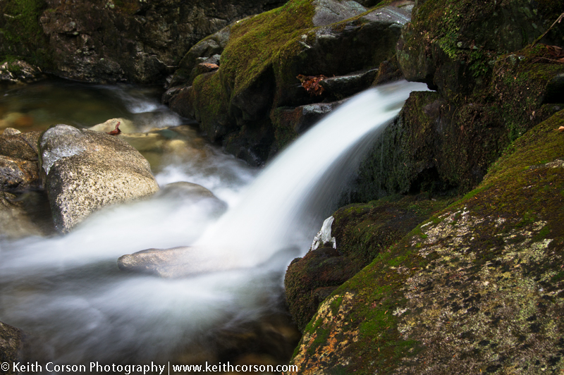
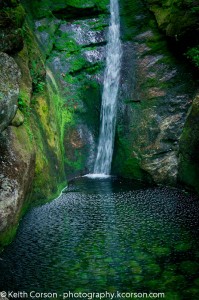
From Tama falls I headed downhill on the Valley Way trail until intersecting with the Sylvan Way trail. From this intersection I headed West on Sylvan Way to Cold Brook Falls. This distance was probably another mile or so. Cold Brook Falls is located in a terraced wall of granite bedrock. It’s about 30 feet high and falls into a beautiful, lime green pool. There is no swimming or wading here as the brook is a source for public water supply. Down stream from the falls is a picturesque, narrow, foot bridge leading to the Link Path, which heads uphill toward Mt. Adams. From here I reached the parking lot by heading East on the Link Trail.
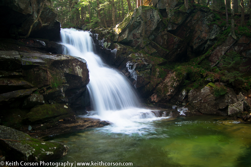
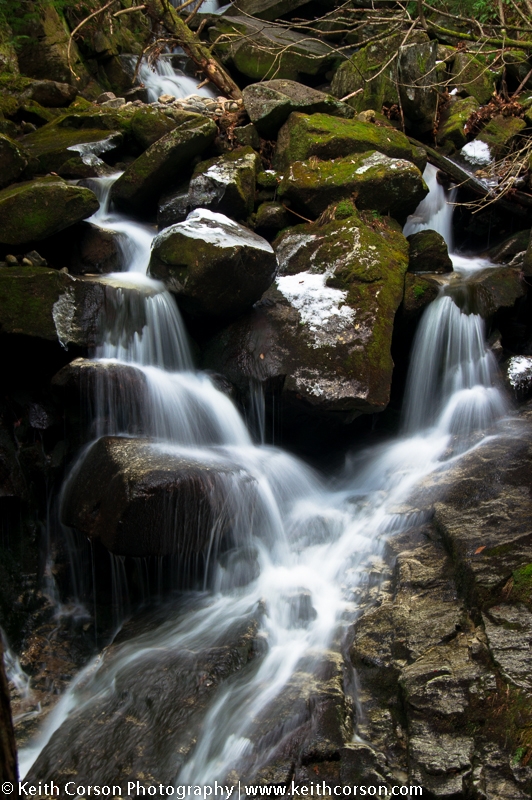
From Appalachia I headed East on route 2 toward Gorham, NH for a mile or so the the Pinkham B. / Dolly Copp Rd. At about 1.5 miles from route 2 you come upon a bridge crossing Town Line Brook. I parked here and headed upstream for 0.2 miles to Proteus, Erebus, and Evans Falls. It is steep and slippery in places, but well worth the quick hike.
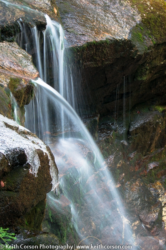
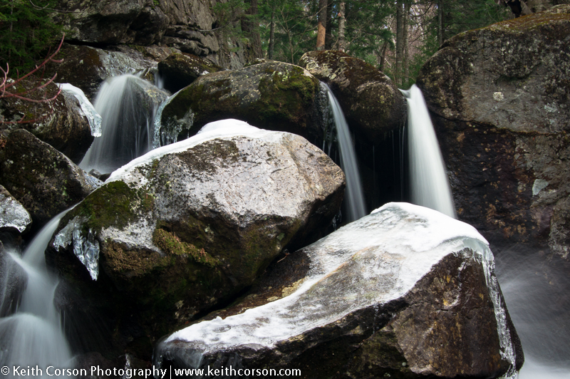
Back tracking, I hit the parking lot just off route 2 and headed out on the Howker Ridge Trail to reach Stairs Falls, Devil’s Kitchen, Coosauk Falls, and Hitchcock Falls. The first three are easy to locate by following the trail markers. Just above Coosauk Falls is a junction on the right with Sylvan Way. Shortly after the Kelton Trail bears right. This looked to be the more traveled trail, but don’t be fooled. Stay to the left on Howker Ridge Trail. Hitchcock Falls is about 0.2 miles above the junction.
You might wonder why I take so many pictures of water and more specifically, waterfalls. To me water is has an ethereal and hypnotizing quality similar to fire. The sound of running water is soothing and visually appealing. On days that I can’t get out before sunrise or stay out for the sunset, waterfalls give me something to photograph while allowing me to also enjoy the space and freedom of being out doors and away from the pressures of daily life. Enjoy…..